Columbia Bottom CA, St. Louis County
Overview: After purchasing this 4300-acre bottomland site in northeastern St. Louis Co. in 1997, the Missouri Department of Conservation put in a fine visitor center, paved and gravel roads through the heart of the area, hiking/biking trails, an observation platform at the confluence of the two great rivers, and a number of other improvements. Unfortunately, the flooding that occurred thereafter, culminating in a major flood in spring 2019, ruined some of the facilities, limited the use of others, and caused such a reduction in visitor traffic that the Department decided to close the visitor center to the public (although it remains open for staff use). The area as a whole remains open to the public from 30 minutes before sunrise to 30 minutes after sunset for hunting (in season), hiking and biking to the extent those are still possible, and of course birding and other nature study. The combination of open fields (some in prairie grasses, some cultivated), a lot of brushy areas and riparian woodland, a small patch of upland woods, and river overlooks combine to make this a worthwhile place to visit any day of the year.
Conditions: The two main roads through the area will be referenced below as the “paved road” and the “gravel road.” Previously they constituted a loop drive, but a section of the paved road has been closed since 2019 due to flood damage. See the tour description below for a suggested route; we also suggest using the area map found here: https://nature.mdc.mo.gov/discover-nature/places/columbia-bottom-conservation-area
Note that as in most CA’s, some hunting is permitted, and so you need to be aware of the various legal seasons—e.g., dove, waterfowl, and deer—and pay attention to the postings for special occasions, e.g., youth hunts. Also note that the only “facility” available is a pit toilet at the boat ramp.
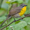
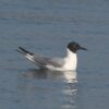
Birding opportunities: Columbia Bottom has established itself as one of Missouri’s top few conservation areas in birding potential, as measured by the list of birds found there. The best source for a bird list nowadays is eBird, where CBCA is a “hotspot” with 285 species recorded; visit https://ebird.org/barchart?r=L342700&yr=all&m= to see the list. Part of the area’s “secret,” of course, lies in its proximity to St. Louis and the frequency with which it is visited by a great many birders. Because of this steady coverage, the area list includes a number of rarities like Fulvous Whistling-Duck, White Ibis, Tricolored Heron, White-tailed Kite, Golden Eagle, Swainson’s Hawk, Prairie Falcon, Northern Shrike, and Chestnut-collared Longspur.
As things stand at this writing, here are some suggestions for a visit in the form of a tour starting at the front gate. The area map on the MDC website link, above, will help.
- When you enter the area (ignoring the immediate left to the visitor center), go straight ahead for 0.25 mile to a junction where the paved road goes left and the gravel road goes straight ahead. Taking the paved road, you can proceed only about half a mile before you reach closure signs due to ruined pavement ahead. That half mile takes you past some nice open fields, brushy areas, and young cottonwood stands, to a small parking lot beside a levee and wooded edge along the Missouri River—i.e., a nice first mix of bird habitats.
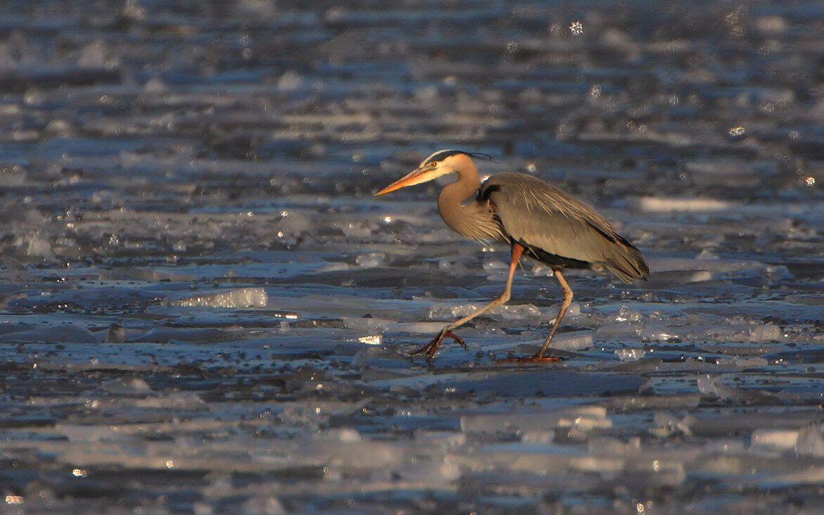
- Going back to the junction, take the gravel road east toward a large equipment barn and continue as the road right-angles to the south, then east again for a long stretch with several small parking areas and wetland pools on your left (north side of the road). When these pools hold water, you may see waterfowl spring and fall, and sometimes shorebirds if the mix of mud and water is right. On your right (south) is an extensive area labeled “refuge,” which often provides a resting place for waterfowl, shorebirds, pelicans, gulls, etc., depending on the season. In warmer weather, this drive may produce herons and egrets, and marshy spots may harbor rails or bitterns. Raptors may be seen year-round, including Bald Eagles. At the east end of this drive, you will make a right-angle turn to the north, but before turning there, you may wish to go straight ahead over the levee, park, and walk a short distance through a patch of woods to the bank of the Mississippi.
- Returning to the main gravel road, you continue north half a mile to join the paved road, with a parking lot opposite. Until the pavement was covered with silt and sand by the flood, you could turn right here and drive one mile to a large parking lot and an access trail to the observation platform at the confluence of the rivers; but now the partially-cleared road is open only to foot and bike traffic. This means, however, that you get a pleasant one-mile walk through semi-open areas with a lot of trees and brush, then a bit of weedy trail past the former pit toilets, and finally a chance to stand on the confluence platform, now lacking its guardrails. Rocks and sandbars just downriver often have roosting flocks of gulls, which make it worth your while to bring a scope. On the way back, you should try a side path on the right that takes you to the former boardwalk among willows, badly damaged but still a good spot for woodland passerines.
- From the parking lot where you parked to walk in, the paved road now takes you northwest through two miles of flat open fields, brush, and woodland edge to a parking lot at the boat launch area on the Missouri River. This is your final stop, as the paved road is again blocked off beyond the boat launch. You must retrace the whole route now to return to the entrance—which of course allows you to pick up all those blackbirds, larks, raptors, and anything else you missed on the way in.
- Even though the visitor center (just north of the entrance gate on an access drive) is not open, you’ll probably add to your list by looking around that area for a bit, perhaps seeing or hearing some woodland birds next to the center and up the slope across the road behind the center (a patch of forest that is part of CBCA). One or two feeders at the center are currently kept filled by volunteers. This is a reliable spot for Eurasian Tree Sparrows, especially if you are trying to help an out-of-towner find them.
- To try one final area (or to start with a nice walk at the beginning of your visit), take the short paved drive off Columbia Bottom Road, about half a mile south of the entrance gate. You can park before reaching the fenced equipment compound and walk east past a gate and along a service road, with woods and fields on both sides until it opens up into the bottomland with larger vistas.
Directions: To reach CBCA from the south and west, take Interstate 270 east to the last exit in Missouri, Exit 34, marked Riverview Drive. Exit there and turn left (north); the road changes its name to Columbia Bottom Road. Proceed for about 2.5 miles to the signed entrance drive on your right. Alternatively, coming from Riverlands or other points north, go south on US-67 and cross the Missouri River bridge. Continue to the exit for Parker Road. Go left on Parker for just under a mile, then left again on Bellefontaine Road and almost immediately right on Spanish Pond Road. In 2.4 more miles you will find yourself at the CBCA entrance drive.